Created 24-Sep-20
Modified 1-Oct-24
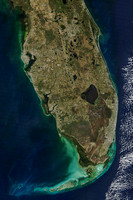
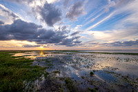
The Everglades watershed's bioregion begins in Osceola County of Central Florida where water flows south from East Lake Tohopekaliga, passing through Lake Tohopekaliga, Lake Cypress, Lake Hatchineha into Lake Kissimmee. The Kissimmee River empties into Lake Okeechobee which in turn loses outflow to the Caloosahatchee River (flowing west into the Gulf of Mexico near Sanibel Island) and the St. Lucie River (flowing into the Atlantic Ocean at Port St. Lucie).
Historically, when Lake Okeechobee overflowed in the wet season (June October), sheet flow (a 50 mile wide shallow band of water) moved south and eventually southwest to feed the southern Everglades ecosystem. Since the early 1900s’, this southerly flow of water has been heavily altered by human activity of diking, drainage, and development. Large scale engineering efforts to “repipe” the system have been ongoing since the 1990’s in the hope of restoring some of the natural water flow, maintaining an adequate freshwater supply for a growing human population during the dry season (November-May), and managing water levels to prevent interior urban areas from flooding in wet seasons and during tropical cyclone events.
This is a very rural area with few accommodations near the best photographic locations. Except for our first trip to the area, we always stayed a couple of nights in Kissimmee-St. Cloud and then drove almost an hour before ever taking the cameras out.
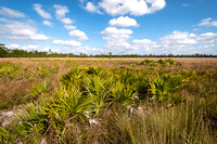
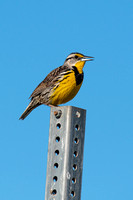
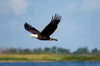
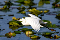
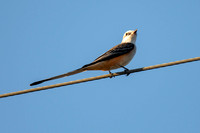
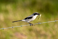
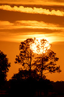
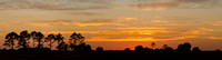
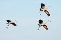
Photographs in this Gallery were made at Canoe Creek Road and Joe Overstreet Landing, Kenansville; Lake Kissimmee State Park; and at Lake Jackson in Three Lakes Wildlife Management Area.
Category:
Subcategory:
Subcategory Detail:
Keywords:
All images © Christopher P. Migliaccio